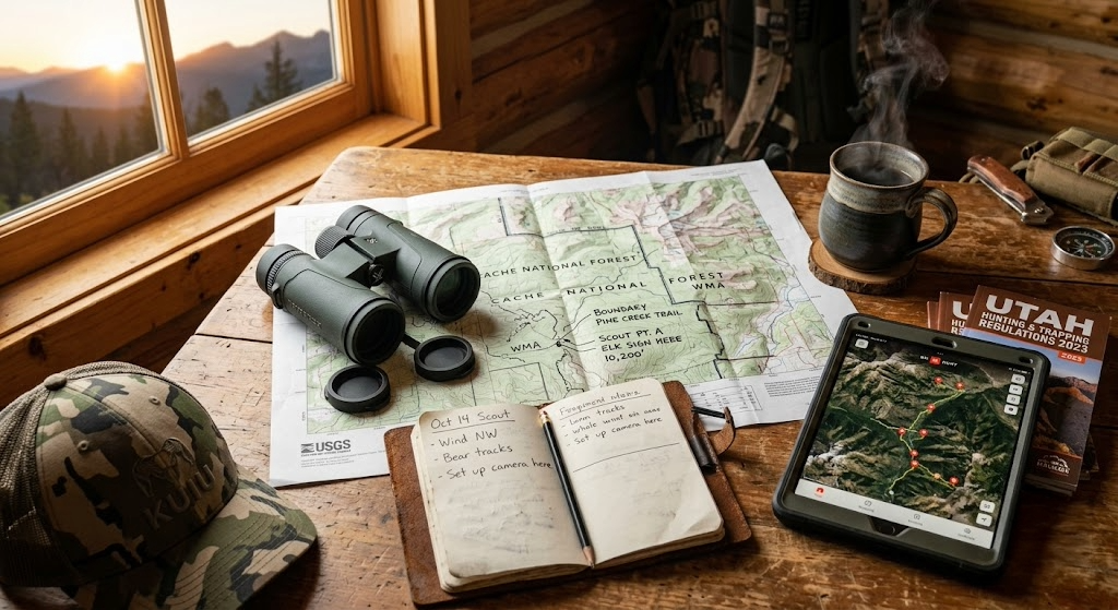
About LandsToHunt
LandsToHunt is a public land hunting resource built for the hunter who is tired of generic advice and wants specific, tested, actually-useful information about where and how to hunt public ground. State-by-state guides, strategy articles, gear reviews grounded in seasons of field use, and food plot content that takes habitat work seriously.
The site is run by Jamie Jent, a career fire service professional who has spent decades managing land and habitat on his own ground and hunting public land across the Midwest, South, and West. That background shapes what you'll read here. Every article is written from the perspective of someone who has actually done the work, made the mistakes, and figured out what works.
The mission is simple. Public land hunters deserve the same depth of information that private-lease hunters take for granted. Whether you're planning your first out-of-state trip, scouting a new WMA, patterning a mature buck on 500 acres of pressured ground, or building a food plot rotation on your own 40, the guides here are meant to save you seasons of trial and error.
What's on the site
State Guides cover every state's public-land hunting options, including top WMAs, national forests, walk-in access programs, season structure, and insider tips that separate opening-weekend crowds from consistent hunters. New state coverage publishes every Monday, and the full library is refreshed annually before fall.
Field Notes is the strategy and how-to blog. Articles walk through the tactics that actually work in the field: reading topo maps for deer travel, pattern-hunting mature bucks on public ground, calling turkeys off the roost, running the four flyways for waterfowl, and everything else that separates a filled tag from an empty tag.
Gear Reviews are honest. Every review names drawbacks alongside strengths. If a boot is uncomfortable after 6 miles, that's in the review. If a rangefinder struggles in low light, you'll read about it.
The tools that support the site
HuntSmart is a companion e-scouting and property analysis platform designed to help public land hunters conduct in-depth terrain reading from home. Automated funnel detection, topo overlays, weather integration, and interactive reports on any WMA, state forest, or national forest tract. Three free scouting reports per month, no credit card required.
ScoutFlight delivers drone-based property assessments for hunters evaluating a new lease, a potential land purchase, or their own ground. Terrain, cover, and habitat analysis that takes seasons to develop while walking the property.
Stay connected
The best way to keep up with new state guides, strategy articles, and gear reviews is to subscribe to the LandsToHunt newsletter. Sign up below to get a free 50-state public land hunting PDF guide delivered to your inbox, plus a note when new coverage publishes. No spam, no affiliate blasts, just the guides.
Questions, feedback, or a state you want covered next? Reach out at jamie@lands-to-hunt.com.