Public Land Hunting Strategy & How-To Guides
Field-tested scouting, mapping, wind, and rut tactics for hunters who scout their own ground.

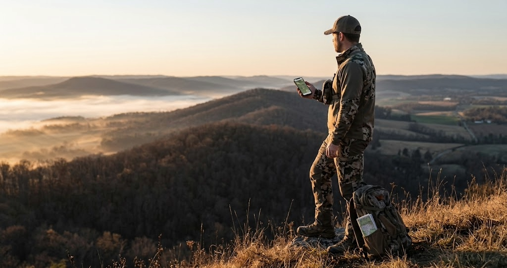
How to Find Deer on Public Land: Reading Sign, Terrain, and Pressure to Put Yourself on Deer
Finding deer on public land comes down to reading three things: the terrain tells you where deer want to be, the sign tells you where they've been, and the pressure tells you where they are right now. When all three point to the same spot, you've found deer. Here's the 6-step system that works on any public tract in any state, from the kitchen-table e-scout through the in-stand adjustments that turn a good guess into a filled tag.
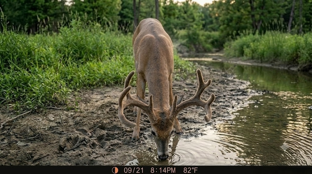
June Trail Camera Audit: How to Optimize Your Network Before the Season That Matters
June is when your trail camera network either starts earning its keep or starts wasting your time and money. Here's the full audit process: grade every location, move underperformers to water and food sources, swap to lithium batteries before the heat kills them, optimize your cellular data plan, and start building the hit list from velvet photos that shapes your entire fall strategy.

Public Land Deer Hunting Tips: 12 Lessons from Hunters Who Do This Every Season
Public land deer hunting rewards discipline, not luck. The hunters who consistently put deer on the ground on State Game Lands, national forests, and WMAs do a handful of things most hunters skip: scout in layers, hunt where others won't walk, play the wind without compromise, and go mobile. Here are 12 lessons from hunters who do this every season, with the gear picks and strategies that make the difference on pressured ground.
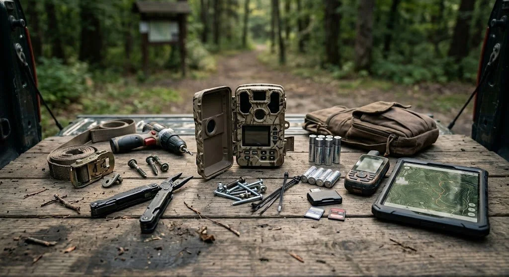
How to Set Up Trail Cameras on Public Land: Strategy, Placement, and the Best Cameras for the Job
How to set up trail cameras on public land without getting your spots blown. Cellular camera picks, placement strategy, and the three mistakes to avoid.
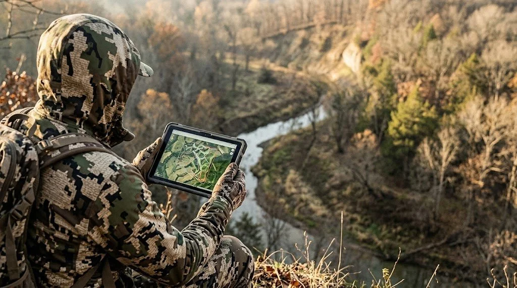
Hunting Scout: The Scouting and Land Analysis Tool I Built Because Nothing Else Did This
Hunting Scout pulls real geospatial data from USGS, NOAA, and Open-Meteo and builds an interactive scouting report for any piece of ground you want to hunt. LiDAR-resolution terrain, wind-scored stand picks, scent cones, frost-flip alerts, whole-field food-plot prescriptions, and a Habitat Strategist that reads your property and tells you exactly where to plant, where to walk in, and which stand to sit tomorrow. Three free reports per month.

How to Read a Saddle Without an App
How to find saddles on a topo map: the contour bowtie pattern explained