This guide includes affiliate links. LandsToHunt.com earns a commission on qualifying purchases.
Illinois sells big bucks to the rest of the country, and most of that reputation grows on private ground leased for serious money. Outfitters don't advertise the other half of the story. The best public land for deer hunting in Illinois sits inside the same river hills, oak ridges, and farm country that built the state's record book, and you can walk onto plenty of it with a license, a map, and a plan.
Below are 12 specific units across southern, west-central, and central Illinois, with terrain, access, the pressure you should expect, and how I'd hunt each one. Need the basics first, like how Illinois sorts its fish and wildlife areas, Corps land, and access programs? Start with our Illinois public hunting land overview, then come back here when you're ready to pick a spot.
One rule before anything else. Illinois runs a lot of its public deer hunting on site-specific rules, and those rules change. Permit drawings, check-in steps, legal methods, stand and camera policies, and season windows can differ from one area to the next and from one year to the next. Nothing in this guide replaces the current regulations from the Illinois Department of Natural Resources. Read them for the exact site you plan to hunt, every single season.
Finding the Best Public Land for Deer Hunting in Illinois Starts With Region
Illinois isn't one deer state. It's three or four stacked on top of each other.
The south end is hill country. The Shawnee Hills run across the bottom of the state with sandstone bluffs, oak-hickory ridges, and hollows steep enough to make you rethink that second bag of jerky. Up the west side, in the Pike, Adams, and Brown county country that hunters call the Golden Triangle, loess bluffs along the Illinois and Mississippi rivers break into tight timber and crop fields. Central Illinois flattens into corn and beans, and the public deer cover there mostly hangs on Army Corps reservoirs and river bottoms. Northern Illinois has public ground too. Thin, scattered, and close enough to Chicago that pressure runs high.
So match the region to how you hunt. Long walks and big timber point you south. Ag edges and bluff funnels point you west-central. And if you own a boat, the reservoirs reward hunters willing to cross water that everyone else drives around.
What About Mule Deer in Illinois?
Short answer: there aren't any to hunt. Illinois has no wild mule deer population, and every deer you'll see on Illinois public land is a whitetail. Mule deer range starts well out on the western Great Plains. If muleys are on your list, you're planning a western trip, and our Colorado public land hunting guide is a good place to start that conversation.
Before you burn gas on a new WMA, pull a scout report on it. I built Hunting Scout to read the real terrain, water, public-land boundaries, and wind for any piece of ground, so you show up with a plan. You get 3 free reports a month, no card needed. Run a free scout report
Shawnee National Forest: Illinois' Biggest Block of Public Deer Woods
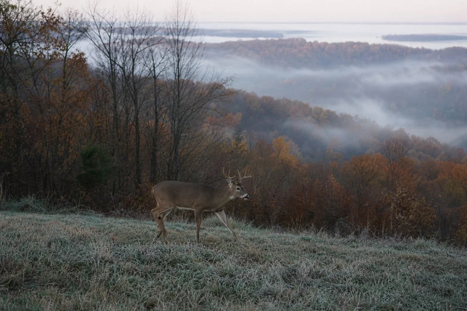
At roughly 280,000 acres spread across the southern tip of the state, the Shawnee is the heavyweight. Nothing else on this list comes close. When you're trying to get away from other hunters, size matters more than almost anything.
Terrain shifts as you move across the forest. Out east in Pope, Hardin, and Saline counties, you'll find sandstone bluffs, long oak ridges, and creek bottoms full of beech and sycamore. The western half, in Union, Jackson, and Alexander counties, falls toward the Mississippi through steep limestone hills and big bottomland. Scattered through both halves are old pine plantations, wildlife openings, and regenerating timber cuts that turn into thick bedding cover a few years after harvest.
Access and Pressure on the Shawnee
Don't think of the Shawnee as one solid block. Private inholdings checkerboard the whole forest, so you need accurate boundary maps on your phone before you take a step. I run the private land layer in onX Hunt for exactly this reason, and the yearly subscription pays for itself on this forest alone. The knock on any mapping app is that parcel data can lag behind recent land sales. When a posted sign and your screen disagree, trust the sign.
Pressure follows roads. Forest roads, trailheads, and the busy hiking areas around Garden of the Gods get hit hard, especially once firearm hunters show up. Flip that around and you'll find the Shawnee's seven designated wilderness areas, including Lusk Creek, Bay Creek, Panther Den, and Clear Springs. No motorized access means every hunter who goes in packs out whatever they kill. That one fact thins the crowd more than any regulation ever will. Check the Shawnee National Forest site for wilderness rules and current closures before you go.
How to Hunt the Shawnee
Acorns run this forest. In a good white oak year, deer barely leave the ridges in October, and the hunter who finds the trees dropping first wins. In a bust year, deer pile into the few producing trees, honeysuckle thickets, and any opening with green browse. Spend September scouting with your eyes on acorn caps, not just tracks.
Here's a setup that works over and over on Shawnee ground. Find a hollow running north to south off a main ridge, with a bench about two-thirds of the way up the west side. Deer feeding in the bottom near the hollow's mouth use that bench as a highway back to bedding at the hollow's head. On a west or northwest wind, your scent blows out over the hollow, never down the trail. Walk the ridge spine in the dark and drop straight down to the bench at your tree, so the only place you touch the trail is where you plan to sit. Cool morning thermals drain your scent toward the creek and keep you clean. Once the sun warms that east-facing slope and thermals start lifting toward the beds, usually by mid-morning, climb down and leave the way you came.
Steep, crooked-oak country like this is where a saddle beats a climbing stand every time. More on that below.
More Southern Illinois Public Hunting Areas Worth a Look
Crab Orchard National Wildlife Refuge
Crab Orchard covers about 44,000 acres between Carbondale and Marion, with three lakes, refuge crop fields, and plenty of second-growth hardwoods. That mix of ag and timber makes for some of the best edge habitat on public ground in the south. The catch is structure. The refuge runs its own hunt program through the U.S. Fish and Wildlife Service, parts of the property stay closed to public use, and the rules don't always match what you'd expect on a state site. Read the refuge's current hunt information before you plan a single sit.
Pressure stacks up near main roads and lake access points. The quieter deer live in the interior timber between fields, and you'll burn some boot leather getting to them. Set up on staging trails 50 to 100 yards back in the timber off a field edge, on a crosswind, so deer coming from bedding and deer already in the field never catch your scent.
Trail of Tears State Forest
Roughly 5,100 acres of steep ridges and narrow hollows in Union County, Trail of Tears gets overshadowed by the Shawnee next door. Good. The ridges run tight together, the climbs are brutal, and most hunters don't push more than a few hundred yards off the forest roads. Get past that line and find a low gap between two hollow heads. During the rut, bucks cruising from one drainage to the next squeeze through those gaps, and very few of them have ever seen a road hunter.
West-Central Illinois: Public Land Inside Big-Buck Country
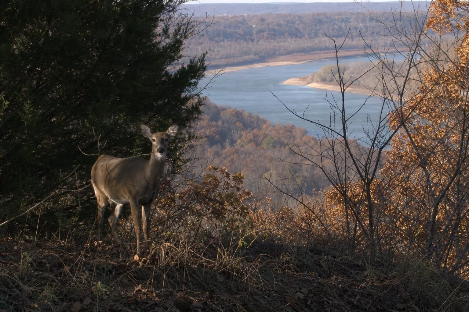
This is the country that put Illinois deer on the map. Pike County pulls hunters from every state in the union, and nearly all of that ground is private. Still, a handful of public units sit right in the middle of it, growing deer on the same soils with the same genetics.
Siloam Springs State Park
About 3,300 acres of wooded hills and creek valleys split between Adams and Brown counties. Small parks draw a crowd fast. When gun hunters arrive, deer here retreat to the steepest, brushiest pockets on the property, and they stay there. Bowhunters who scout the cedar-choked draws and thick edges along the park boundary tend to do better than the folks camped on the obvious oak flats near the roads.
Pere Marquette State Park
More than 8,000 acres sit at the meeting of the Illinois and Mississippi rivers near Grafton in Jersey County. Big loess bluffs, hill prairies on south-facing slopes, and dark timber on the north faces. Big chunks of the park stay busy with hikers and campers, so grab the current hunting area map and confirm which sections are open before you scout. Bluff-top ridges create natural funnels here. Deer move between the river bottoms and the crop ground behind the bluffs through a few predictable draws, and you can find them on a map in ten minutes.
Ray Norbut State Fish and Wildlife Area
Ray Norbut is the Pike County public option, a small unit along the Illinois River where wooded ridges drop into floodable bottoms. Being small and in Pike County means everybody knows about it. Opening days get crowded. Hunt it midweek, hunt it in the rain, and focus on the transition where ridge timber meets the bottom, since deer use those slopes to dodge people coming in from both directions.
Jim Edgar Panther Creek State Fish and Wildlife Area
Here's the big one in this region. Roughly 16,000 acres of rolling hills, timber, grassland, crop fields, and lakes in Cass County near Chandlerville. Panther Creek runs its own site-specific hunting system, so read its current rules closely before you apply or show up.
What makes this place different is grass. Deer bed in tall grass and brushy draws here as much as in timber, and hunters who only scout the woods miss half the herd. Get on a high point at first light and glass. The Vortex Diamondback HD 10x42 is my pick for this kind of open-country picking apart, with sharp glass and a lifetime warranty for a mid-range price. Fair warning, it's heavier than a compact 8x32, and in the last few minutes of legal light, premium glass still pulls ahead.
Sand Ridge State Forest
Illinois' largest state forest covers roughly 7,200 acres in Mason County, and it doesn't look like anywhere else on this list. Sand prairie, black oak savanna, and pine plantations sit on deep sandy soil. Deer densities run lower than in the river hills. Pressure runs lighter too. Sand records tracks beautifully, so a single scouting walk after a rain tells you exactly which trails deer are using. The pine plantations hold bedding deer on cold, windy days.
Corps Reservoir Land and River Bottoms in Central Illinois
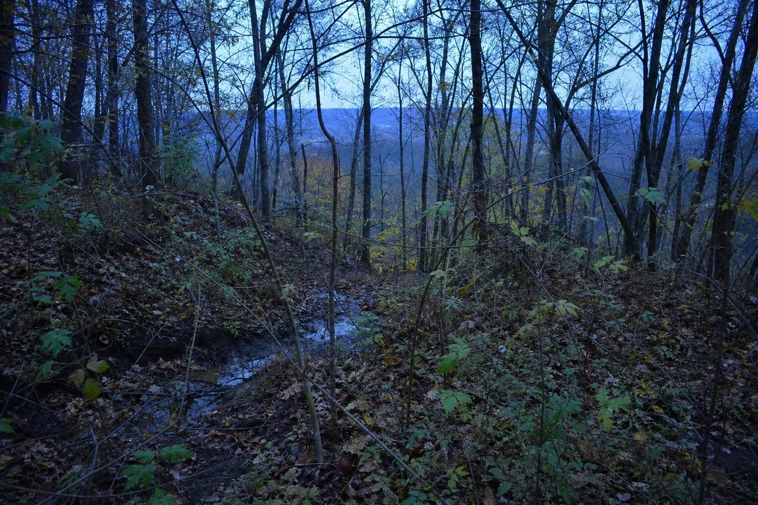
Central Illinois is farm country to the horizon. Public deer cover lives along water, so that's where you look.
Carlyle Lake
The biggest man-made lake in Illinois spreads across Clinton, Bond, and Fayette counties, with Army Corps land and the Carlyle Lake State Fish and Wildlife Area wrapped around its upper end. North of the lake, the Kaskaskia River bottom turns into flooded timber and willow flats. Deer live in that wet, nasty ground because people don't want to. Water levels swing hard here, so a spot you scouted bone dry in August can sit knee-deep by November.
Lake Shelbyville
Corps land in Shelby and Moultrie counties follows the lake's long, skinny arms, leaving narrow timber strips between the water and crop fields. Deer travel those strips lengthwise. Hunt the inside corners where a creek arm meets ag ground, and if you have a boat, run to points that have no road access at all. A ten-minute boat ride puts you somewhere most hunters will never walk.
Rend Lake
Rend Lake in Franklin and Jefferson counties pairs Corps ground with the Rend Lake State Fish and Wildlife Area. Brushy old fields, ag, and bottoms on the north end hold the best cover. Same playbook as Shelbyville. Water access beats walking access.
Kaskaskia River State Fish and Wildlife Area
Down near Baldwin in southwestern Illinois, this area follows the lower Kaskaskia through miles of bottomland hardwoods, sloughs, and crop fields. Early season means mosquitoes and mud. Later on, high water pushes deer onto every little rise and ridge in the bottom, and those spots become the whole hunt. You'll want real rubber boots here, and the LaCrosse Alphaburly Pro handles slough crossings and sucking mud better than anything I've worn. Downsides? It's heavy and runs hot on long walks, so leave it at home when you head for the Shawnee ridges.
How to Hunt Pressured Illinois Public Land Deer
Hunt the Calendar, Not Just the Ground
Bow season is where public land hunters in Illinois get their best shot at a mature buck, mostly because the woods stay quiet. The window from late October into early November, when bucks start cruising and checking does, gives you daylight movement you won't see the rest of the fall. Our rut hunting guide for public land breaks down how to set up for it.
Firearm hunts change everything. On sites that run drawn firearm hunts, the days around those hunts reshape deer behavior for a week or more. Deer shift into escape cover: cedar thickets, cattail sloughs, flooded willows, blowdowns, and the steepest hollow heads. Know where that cover is before the first shot rings out, and hunt it once everyone else goes home.
Use Water and Distance
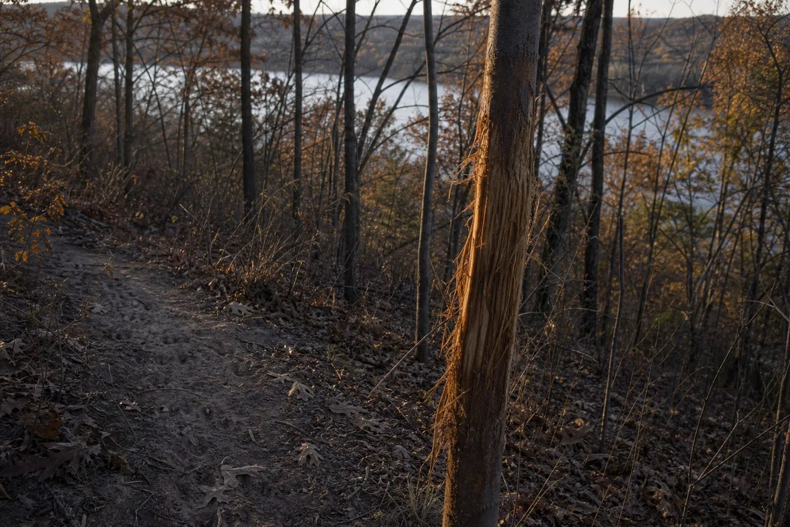
Most hunter traffic on Illinois public ground dies out within a quarter mile of a parking lot. Get past it. On the Shawnee, that means wilderness areas and long ridge walks. Around the reservoirs, it means a boat. And in the river bottoms, it means wading a slough most guys won't cross.
Read Terrain Before You Walk It
Every unit on this list rewards terrain reading. Benches, points, gaps between hollow heads, and inside corners show up clearly on a topo layer long before you set foot on the ground. If contour lines still look like spaghetti to you, start with our walkthrough on how to read a topo map for deer hunting.
Go Light and Mobile
Hunting out of a saddle lets you hang in crooked oaks, lean against a tree on a steep slope, and move with the wind or fresh sign. The Tethrd Phantom Saddle is the setup I trust for Illinois hill country. Expect a learning curve, and the price stings next to a budget hang-on. Before you hang anything, check each site's rules on stands, climbing aids, and trail cameras. Those policies vary across Illinois public areas.
FAQ: Best Public Land for Deer Hunting in Illinois
Are there mule deer in Illinois?
No. Illinois has no wild mule deer population. All public land deer hunting in Illinois is for whitetails. Mule deer live farther west, starting on the western Great Plains.
What is the largest public hunting area in Illinois?
The Shawnee National Forest is the largest, at roughly 280,000 acres across the southern end of the state. Private inholdings run all through it, so carry accurate boundary maps.
Can you hunt deer on public land in Pike County, Illinois?
Yes. Ray Norbut State Fish and Wildlife Area sits in Pike County, and Siloam Springs State Park is nearby in Adams and Brown counties. Both are small and get real pressure, so midweek hunts pay off.
Do Illinois public hunting areas require special permits?
Many do, and the details vary by site and by year. Some areas use drawings, check-in systems, or site-specific permits, especially for firearm hunts. Check current IDNR regulations for your exact site before every season.
When is the best time to hunt Illinois public land for deer?
For most public land hunters, archery season from late October into early November offers the best mix of low pressure and daytime buck movement. Confirm open dates for your site with IDNR.
Illinois public ground won't hand you a Pike County lease buck. It does give you real hills, real bottoms, and real deer for anyone willing to walk farther and read terrain better than the crowd. Pick a region, pick a unit, and start scouting before the leaves drop. Want help planning the next one? Subscribe to the LandsToHunt email list and get our free state-by-state public land hunting guides delivered straight to your inbox.
Want a head start on the ground itself? I built Hunting Scout to scout any spot from home. Your first 3 reports each month are free. Try Hunting Scout
