This guide includes affiliate links. LandsToHunt.com earns a commission on qualifying purchases.
Colorado makes you work for a deer. You wait on the draw, you climb into thin air, and some years the herd just isn't where you left it last fall. Still, the best public land for deer hunting in Colorado follows a simple split. Mule deer own the Western Slope, spread across BLM sage flats, pinyon-juniper breaks, and national forest oak brush from the Utah line to the Continental Divide. Whitetails stay tight to the cottonwood river bottoms out east. Public ground there is thin. Every acre counts.
Our Colorado public hunting land overview covers the land types and CPW mapping tools, so start there if you haven't. This post picks up where that page stops. You'll get specific units and properties first, then how to hunt each piece of ground once your boots hit the dirt.
One ground rule. Season dates, license types, bag limits, and draw rules shift, sometimes from one year to the next. Pull the current big game brochure from Colorado Parks and Wildlife before you apply for anything, and read the property rules again before you hunt.
Why the Best Public Land for Deer Hunting in Colorado Starts With the Unit
In most Midwest states, you pick a piece of ground and buy a tag. Colorado flips that around. Deer are managed by game management unit, so the tag you draw decides the dirt you hunt. Choosing land really means choosing a GMU.
Every Colorado deer hunter runs into the same tradeoff sooner or later. High-demand units hold older bucks and fewer hunters, but they take years of preference points. Units you can draw sooner tend to carry more pressure and younger deer. Neither path is wrong. You just need to know which game you're playing.
Read the harvest reports like a scout
CPW publishes harvest statistics and draw recap reports for every unit. Most hunters glance at success rate and stop. Don't. Pull three numbers side by side:
Hunter success rate over the last three to five years, not just last season
Total hunters in the unit for the season you plan to hunt
Public acres in the unit, which you can measure yourself in a mapping app
Now divide hunters by square miles of public land. A unit with a 40 percent success rate and 12 hunters per public square mile hunts very differently from one with 35 percent success and four hunters per square mile. Most years, I'll take the second one.
Check how much of the unit is public
Some Western Slope units run heavily public. Others look great on paper because the deer spend the season on private hay meadows and ranch ground. Turn on the hunting unit layer in onX Hunt, overlay public land, and study where the fall transition range and winter range sit. If the good stuff is private, the harvest numbers won't help you. The app runs on a yearly subscription and drains your phone fast in the backcountry, so download offline maps before you lose signal and carry a battery bank. Our guide to e-scouting deer country before you leave home walks through the whole process.
Before you burn gas on a new WMA, pull a scout report on it. I built Hunting Scout to read the real terrain, water, public-land boundaries, and wind for any piece of ground, so you show up with a plan. You get 3 free reports a month, no card needed. Run a free scout report
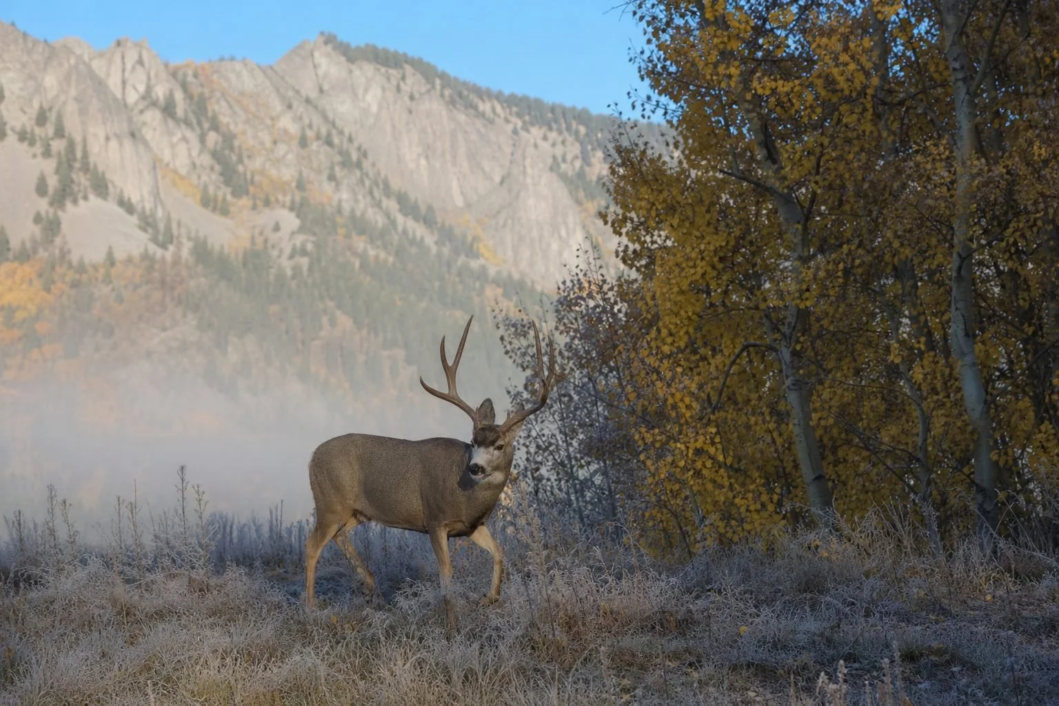
Western Slope Mule Deer: The Public Units Worth Your Points
West of the Divide, BLM and national forest ground make up a huge share of the country. The White River, Grand Mesa, Uncompahgre, Gunnison, and San Juan National Forests cover millions of acres between them, and BLM fills in the lower sage and pinyon-juniper. Here's where I'd look first.
Uncompahgre Plateau (Units 61 and 62)
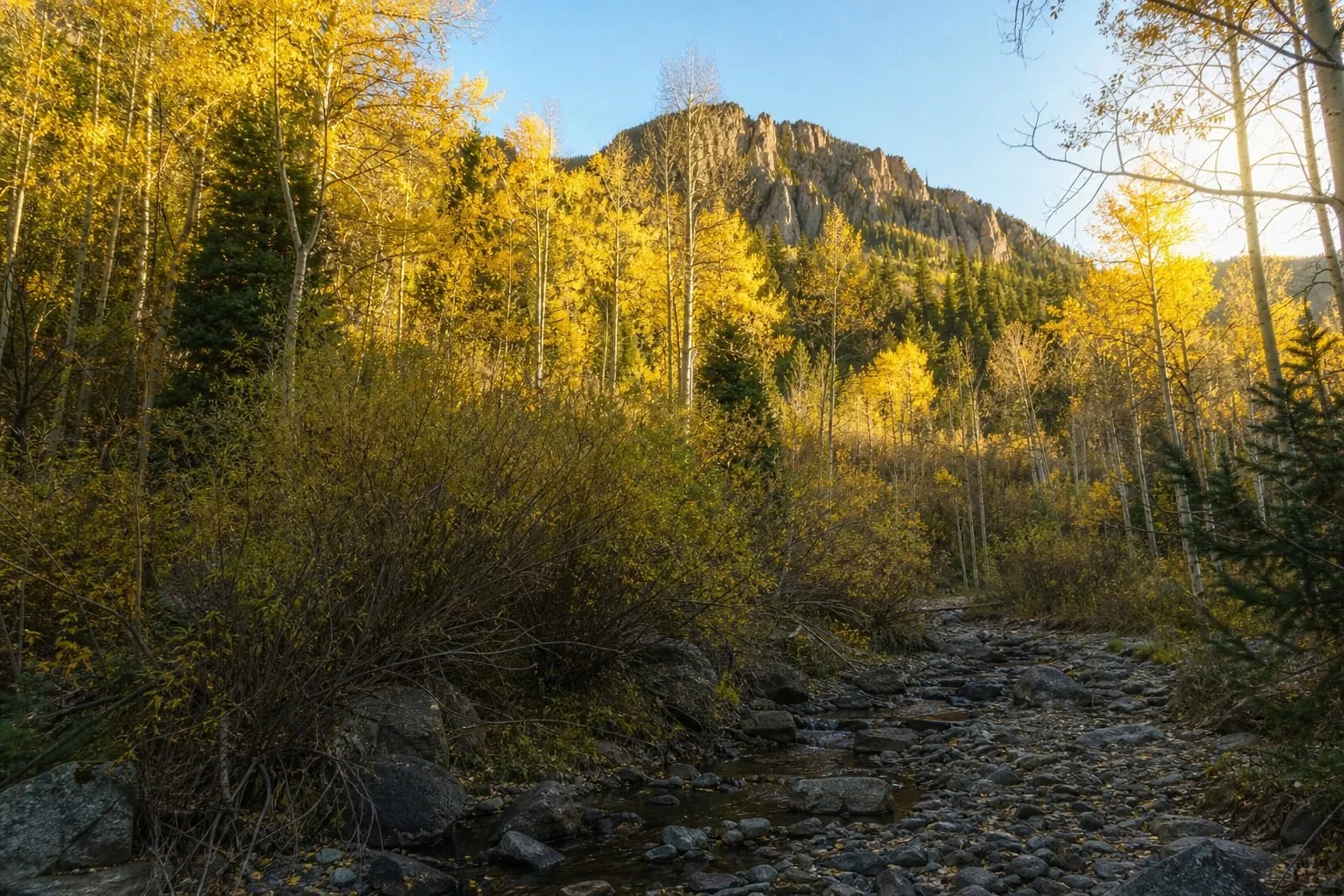
Picture a long, tilted tableland running northwest from the Ridgway and Montrose area toward Gateway. Ponderosa and aspen cover the top. Gambel oak, pinyon, and juniper wrap the flanks. Unit 61 carries a reputation for heavy-antlered bucks and historically takes a deep stack of points to draw. Unit 62 is easier to get into and sees more hunters.
Access is easy. The Divide Road runs the spine of the plateau, with Forest Service roads peeling off both sides. That's also the problem. During rifle hunts, trucks crawl the Divide Road all day, and the deer know it.
Skip the rim roads. Drop into the steep canyon heads where oak brush gets thick enough to swallow a bedded buck. Mature deer on the plateau live in that nasty oak, often a half mile below where most hunters park.
Piceance Basin and White River Country (Units 11, 211, and 22)
Between Meeker and Rangely lives what was once called the largest migratory mule deer herd in North America. Numbers aren't what they were decades ago, but the habitat still grows deer. Most of the basin is BLM ground managed by the White River Field Office, a maze of pinyon-juniper ridges, sage parks, and gas field roads. Seasonal closures change what you can drive, so check the current BLM travel maps before you go.
Gas roads spread hunters out, which helps. They also give everybody easy access, which doesn't.
So here's what works. Find north-facing draws with mountain mahogany, serviceberry, and bitterbrush, then glass the small sage openings inside the PJ right at first light. Deer step out to feed for 20 minutes or so before they melt back into the cedars.
Flat Tops and the White River National Forest
Early bow hunters should look hard at the Flat Tops. This high plateau sits mostly above 10,000 feet, and bucks summer in alpine basins and along spruce edges well above where rifle hunters show up later. A big chunk of the area is designated wilderness, so you're on foot or horseback. No bikes, no motors.
The payoff is room. Walk three miles past the Trappers Lake or Marvine trailheads and pressure drops off a cliff. When the first real snow hits, those same deer start sliding down toward the White River valley.
Gunnison Basin
Big sage flats, aspen ridges, and some of the coldest valley floors in the lower 48. The Gunnison Basin grows good mule deer when winters cooperate. The winter of 2022-23 didn't. Deep snow and long cold hit the herd hard, along with herds in northwest Colorado, so check the latest harvest data and CPW herd reports before you assume the basin is back to full strength.
When numbers are up, patient glassers win here. From one sage knob you can watch three or four drainages at once.
Northwest Corner (Units 2 and 201)
Brown's Park, Cold Spring Mountain, and the Douglas Mountain country sit about as far from Denver as you can get without leaving the state. Units 2 and 201 have produced some of the biggest public land mule deer in Colorado, and drawing either one historically takes years of points. Treat this as a long-term goal. Keep building points, scout on a summer trip, and learn the roads before you need them, because a wet fall turns some of those two-tracks into grease.
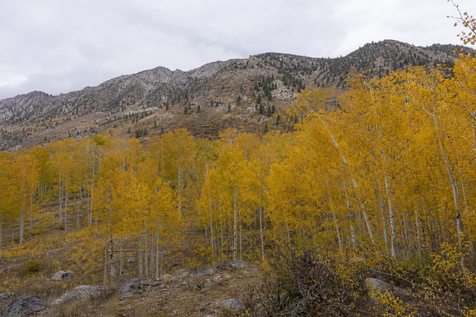
Eastern Plains Whitetails: River Bottoms and State Wildlife Areas
Whitetails followed the rivers onto the Colorado plains and stayed. The South Platte, Republican, and Arkansas corridors all hold good deer, and some bucks out here get very old because so much habitat sits on private ground. Public land is the bottleneck. State Wildlife Areas carry most of the load, and you'll share them.
Read each SWA's property page before you go. Plains SWAs often carry their own rules on access, methods, camping, and which parts of the property are open when.
South Platte Corridor: Tamarack Ranch, Red Lion, and Sedgwick Bar SWAs
Near Crook in Logan County, Tamarack Ranch SWA is the best-known whitetail spot on the plains. Cottonwood bottoms, willow thickets, Russian olive, and sandhill uplands lie right next to irrigated corn on private ground. Deer bed on the SWA and feed on the farm fields. That pattern is the whole game.
Pressure at Tamarack runs heavy, especially near the parking lots. Red Lion and Sedgwick Bar, farther downstream, tend to see less traffic and hunt similar. On all three, push into the Russian olive and cattail edges along old sloughs, the stuff hunters walk around instead of through. Older bucks bed in there and wait out the crowd.
South Republican SWA (Bonny Reservoir)
Colorado drained Bonny Reservoir in Yuma County more than a decade ago. That hurt the fishing badly. For deer hunters, the old lakebed has grown up in brush, weeds, and young cottonwoods, which means thick bedding cover sitting inside a strip of public ground along the Republican River.
Mule deer work the surrounding breaks while whitetails hug the bottom. Bring a hang-on stand or a saddle. The big cottonwoods give you plenty of trees to climb.
Arkansas River and the Southeast: John Martin Reservoir SWA and Comanche National Grassland
John Martin Reservoir SWA in Bent County wraps the river and reservoir with tamarisk, cottonwood, and grass. Whitetails hold in the river bottom. Mule deer work the uplands.
South of there, the Comanche National Grassland covers roughly 440,000 acres across Otero, Las Animas, and Baca counties. Most folks think pronghorn when they hear the name. Head into the Picketwire Canyonlands or the canyon country around Carrizo, though, and you'll find mule deer bedded under juniper-lined rims with almost nobody else around. Expect long drives, rough roads, and no cell signal.
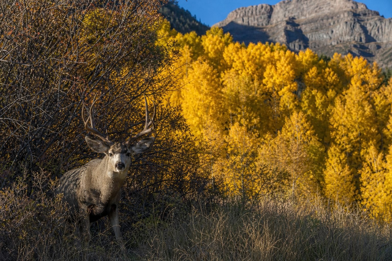
How to Hunt the Best Public Land for Deer Hunting in Colorado
Drawing a tag gets you to the trailhead. Here's what fills it.
Glass more, walk less
Western Slope mule deer hunting is a glassing game. Get to a high point before shooting light, set your binoculars on a tripod, and pick apart every oak patch, shadow, and sage opening in grid squares. Most hunters glass for ten minutes, see nothing, and walk off. The ones who fill tags glass the same hillside for an hour and find the buck that was there all along.
Play the thermals, not just the wind
Once the sun warms a slope, air moves uphill. In the evening it drains back down. Thermals beat a light prevailing wind almost every time in steep country, so plan morning stalks from above after the sun hits and evening stalks from below. A puff bottle confirms what the air is doing before you commit.
Follow the snow
Nothing moves mule deer like snow. A foot of fresh powder up high pushes deer off summer range and into transition country, usually oak brush and aspen benches between 7,000 and 9,000 feet. If your hunt lines up with a storm, work the edge of the snow line. No snow yet? The deer are still up high, and hunters below them see nothing.
The mule deer rut generally peaks in mid to late November in Colorado. If your tag runs into that window, spend your time glassing doe groups. Bucks get careless chasing them.
Hunt where the trucks don't stop
Most pressure on Colorado public land sticks to roads and trailheads. Pressured mule deer don't always run for the top of the mountain, though. Plenty of them drop into the thickest oak brush or dark north-facing timber close by, sometimes within 300 yards of a road nobody walks because it looks too easy. Check those pockets before you hike five miles.
Here's a morning that plays out on the Uncompahgre more often than you'd think. Opening-day traffic pushed deer off the open sage benches overnight. At first light you set up on a rimrock point with the sun still behind the ridge, and nothing moves in the open. Around 8:30 the sun hits the east-facing oak below you. An ear flicks in a gap in the brush 600 yards down, a buck bedded in the shade. With the thermals now rising, you circle above him, slip along the rim, and close to 250 yards. Then you wait. When he stands to stretch near noon, you're ready.
Plains whitetails: sit the pinch, not the field edge
Out east, deer feed on private crops and bed on public ground. So don't sit the SWA boundary staring at a cornfield like everyone else. Find where the bedding cover narrows, a slough crossing, a gap in the Russian olive, a strip of cottonwoods between the river and the sandhills, and hang your stand 100 yards back from the edge. Plains wind blows strong and steady, which works in your favor. Pick each stand for one wind and stay off it when the wind is wrong. Our guide on hunting whitetails on public land goes further into stand setups for pressured deer.
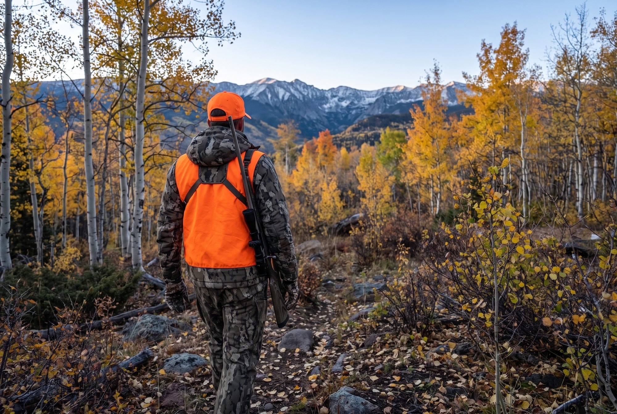
Gear That Earns Its Spot in Colorado Deer Country
Colorado gear comes down to glass, feet, and layers. Here's what I'd run.
Optics
The Vortex Diamondback HD 10x42 gives you clear, bright glass for picking apart oak brush at 800 yards, and Vortex's warranty takes the sting out of a hard fall on shale. The catch is that 10x gets shaky handheld, especially after a climb, so pair it with a lightweight tripod and adapter. Edge sharpness also falls off compared to glass that costs three times as much.
On a tighter budget, the Vortex Crossfire HD 10x42 handles daytime glassing fine. You'll notice it dims sooner in the last 15 minutes of light, which is exactly when deer step out.
Boots
For steep Western Slope country under a loaded pack, the Kenetrek Mountain Extreme gives you the ankle support and stiff sole you want on side hills and loose rock. They're heavy, expensive, and need real break-in miles before your hunt. Plains and lower BLM country call for something lighter. The Danner Pronghorn stays comfortable on long days walking flat ground, but you'll miss the support when you're side-hilling with meat on your back. See our full breakdown of the best hunting boots for public land for more options.
Layers
At 9,000 feet, mornings start in the teens and climb past 50 by noon. You need a system you can peel off and pack. The KUIU Axis Hybrid Hooded Jacket makes a quiet, weatherproof outer layer for glassing in wind and spitting snow. Know what you're buying, though. It's a shell, not insulation, so you'll still want a puffy for long sits on a cold glassing point.
Frequently Asked Questions About Colorado Public Land Deer Hunting
What is the best public land for deer hunting in Colorado for a first-timer?
For mule deer, look at Western Slope units with a high share of BLM and national forest ground. The Piceance Basin and the lower Uncompahgre Plateau give new hunters lots of room to learn. Check CPW's current draw recap reports to see what each unit takes to draw.
Can you hunt whitetails on public land in Colorado?
Yes. Most public land whitetail hunting happens on eastern plains State Wildlife Areas along the South Platte, Republican, and Arkansas rivers. Tamarack Ranch, South Republican, and John Martin Reservoir SWAs make good starting points.
How far from the road should you hunt mule deer in Colorado?
Cover matters more than distance. A mile from the road often gets you past most hunters, but pressured bucks also hide in thick oak brush close to roads that everyone skips. Check both.
Do you need a special pass to hunt State Wildlife Areas in Colorado?
Colorado has access requirements for SWAs and State Trust Land, and those rules have changed in recent years. Read the current requirements on the CPW website and check each property page before you go. Don't assume a Walk-In Access property allows deer hunting either. Confirm first.
Colorado rewards the hunter who does the homework in July and the walking in November. Pick your unit, map it hard, and go find the deer everybody else drove past. Want more ground to scout? Sign up for our email list to get our free state-by-state public land hunting guides, then browse the full public land directory to plan your next hunt.
Want a head start on the ground itself? I built Hunting Scout to scout any spot from home. Your first 3 reports each month are free. Try Hunting Scout
